Over 10 years we help companies reach their financial and branding goals. Engitech is a values-driven technology agency dedicated.

Gallery

Contacts

411 University St, Seattle, USA

engitech@oceanthemes.net

+1 -800-456-478-23

Deutsche Glasfaser: scaling mobile mapping operations with standardized fleet solutions

Published:
March 30, 2026
Category:
Integrate, Collect
Share this case:

Deutsche Glasfaser

Scaling mobile mapping operations with standardized fleet solutions

Deutsche Glasfaser group is a leading fiber-optic network provider driving Germany’s digital transformation. With innovative planning and construction methods, it specializes in fast, cost-efficient FTTH expansion, setting the standard for nationwide high-speed connectivity. As their operations expanded to a 12-vehicle mobile mapping fleet covering thousands of kilometers annually, they needed a standardized, reliable solution that could scale with their growth. Partnering with Horus enabled Deutsche Glasfaser to transform their mobile mapping operations with professional-grade systems built for enterprise-scale deployment.

the 

Challenges

Despite operating a dedicated mapping fleet Deutsche Glasfaser wanted to improve the uniformity of operation and workflow stability that is crucial in Germany’s competitive fiber rollout market. The company was looking for an upgrade of their mobile mapping systems to deliver flawless results. Managing this rapid expansion revealed the need for standardized systems that could deliver consistent reliability across the country.

01 Fleet Standardization at Scale

With 12 vehicles in operation, Deutsche Glasfaser needed identical systems across their entire fleet. Non-standardized equipment made fleet management complex, as components couldn’t be transferred between vehicles and each system required unique maintenance and troubleshooting approaches.

02 System Reliability and Uptime

Production stability was critical for efficient operations. System interruptions during data collection forced drivers to re-survey areas, wasting time and resources. The company needed industrial reliability that could handle daily field operations across diverse German terrain and weather conditions.

03 Competitive Pressure in Municipal Tenders

The intensification of the fiber market across Germany demands precise cost projections and fast project delivery. Without reliable and state-of-the-art geospatial data, Deutsche Glasfaser’s cost estimation process would be lagging behind.

The Solution

The key components of the solution were:

// Enterprise fleet standardization

A complete standardized solution across all 12 vehicles, enabled efficient fleet management and simplified maintenance. Horus transformed Deutsche Glasfaser's mobile mapping operations by replacing unstable in-house systems with a robust, fully integrated hardware and software solution. Built on the proven Horison software framework and field-tested components, Horus' approach delivered enterprise-grade reliability and enhanced data precision.

// Streamlined operations

The Horus system reduced operational complexity significantly. With Horison-based software integration calibration frequency dropped from per-session to once daily, saving significant time across the fleet. The intuitive interface simplified workflows, reducing the number of programs and steps required for data collection.

// Reliable, high-quality data collection

The standardized system delivers consistent, high-quality panoramic imagery essential for analyzing sidewalk surfaces, counting houses and mailboxes, and planning fiber routes. Stable performance ensures uninterrupted data collection across survey areas.

Results & Benefits

“The transition to standardized Horus mobile mapping solutions improved Deutsche Glasfaser’s operations, enabling reliable, efficient data collection across their extensive German fiber network deployment.”

Systems in operation
% increase in productivity
% training time reduction

40% productivity increase

The implementation of Horus integration across Deutsche Glasfaser’s mapping fleet delivered outstanding results, boosting productivity by 40%. Enhanced system reliability eliminated the need to re-survey areas that had previously hindered operations, ensuring consistent, high-quality data collection across all 12 vehicles.

Dramatically reduced calibration requirements

Daily calibration replaced the previous per-session requirement, saving hours of operational time across the fleet. Teams no longer need to locate suitable calibration sites and return to survey areas multiple times per day, streamlining the entire workflow.

75% reduction in training time

Streamlined operations cut new driver training from two weeks to just half a week. The intuitive interface and simplified workflow accelerate onboarding, making it easier to scale operations and integrate new team members.

Simplified fleet management

Standardized systems with interchangeable components transformed fleet management. Data transfer became straightforward and reliable, while identical configurations across all vehicles eliminated the complexity of maintaining unique system specifications.

Enhanced data precision for project planning

High-quality, reliable imagery enables accurate analysis of sidewalk surfaces, building entries, and infrastructure. This precision directly impacts cost projections and project feasibility—with mobile mapping playing a crucial role in the cost estimate.

Real-world impact

Application use case

Mobile mapping data is the foundation of Deutsche Glasfaser’s deployment planning process. Analysts use the imagery in QGIS to identify sidewalk surface types (tiles, asphalt, or grass), count mailboxes and building entry points, and draw precise future trench routes. This analysis determines the exact meters of each surface type requiring excavation, directly calculating project costs and determining fiber capacity requirements.

The accuracy advantage is measurable: In one Bavaria project, satellite imagery suggested tile coverage, but mobile mapping revealed asphalt surfaces—a discovery that prevented significant cost overruns and enabled accurate bidding that secured the contract.

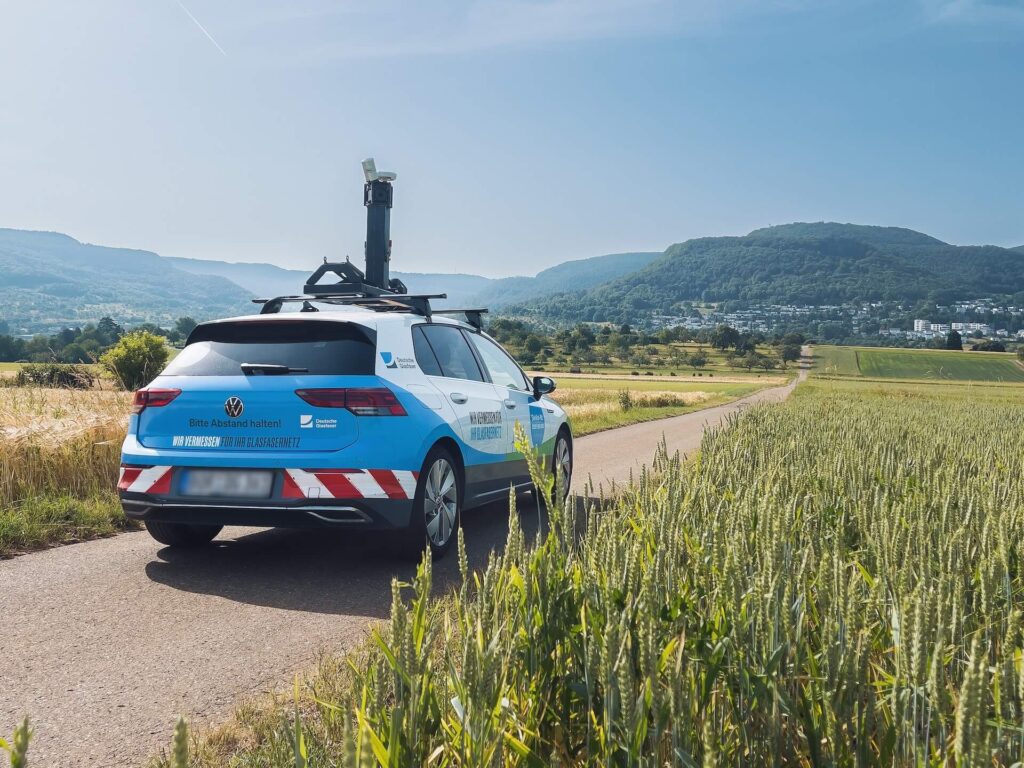
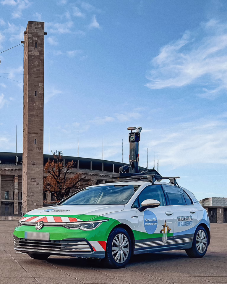
"What we enjoyed the most is that now we do not have to calibrate the system for every run. It saved us so much time, and that is the biggest profit we got. We had to calibrate before every recording, find a place with good satellite reception, then drive back to the survey area. Now we only calibrate once a day. The system stability is extremely better now. Previously, the system could shut down during collection, forcing drivers to re-run areas they had already covered. "
Sven Kuehte
Team Lead Mobile Mapping | Deutsche Glasfaser

Conclusion

“Deutsche Glasfaser successfully scaled their mobile mapping operations with standardized, enterprise-grade Horus systems across their 12-vehicle fleet. The partnership delivered a 40% productivity increase, eliminated operational downtime, and provided the accurate geospatial data needed to create competitive bids for municipalities. With reliable, high-quality mobile mapping now supporting their operations, Deutsche Glasfaser has strengthened their leadership position in Germany’s FTTH expansion, securing new contracts with precise environmental assessments and maintaining their competitive edge in the nationwide fiber rollout market.”