Detecting anomalies with Thermal Infrared?
Capture and increase your data collection at driving speed


Capture the unseen reality
This amazing technology allows us to explore the world around us in a whole new way. Using thermal infrared cameras, we can detect and map heat patterns, helping us identify energy loss, detect leaks, and even locate hidden treasures!
Make use of this large scale method to create geographical maps to turn it into actionable data.
It’s incredible how this technology helps us live more efficiently and sustainably.
We help housing providers with decarbonising social housing
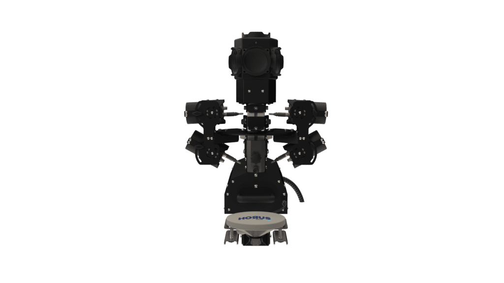
Make smart retrofit decisions using the latest thermal imaging technology and DREam – our online platform that shows you how to save energy and access funding fast.
Source: https://irtsurveys.co.uk/
Applications
Thermal Extension
History of Integration
Horus, a pioneer in mobile mapping in the Netherlands, developed their advanced mobile mapping systems over 12 years ago. We designed our underlying Horison Framework software to be flexible, compatible with various components, and ready for future changes.
We are well-prepared to handle projects that require the latest technologies. In the Netherlands, we’ve successfully captured multiple cities with thermal mobile mapping systems for governements, infrastructure, and utility companies.
Looking for an efficient way to capture these insights?
Tell us about your use case.