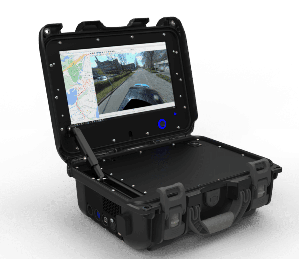
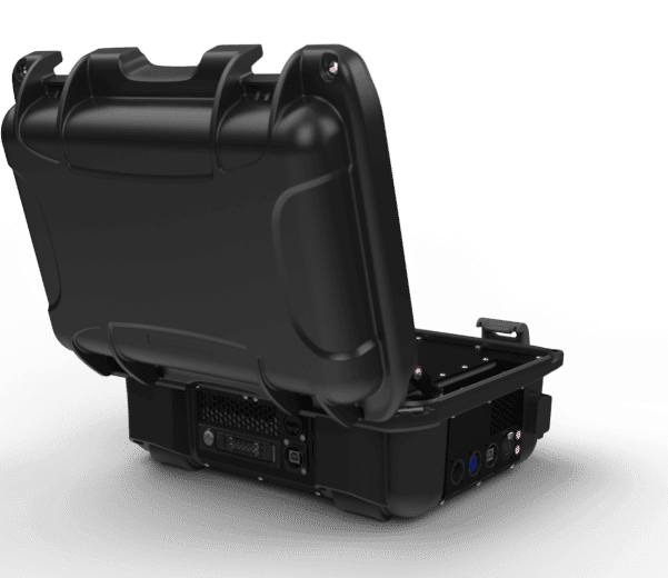
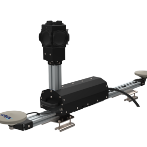
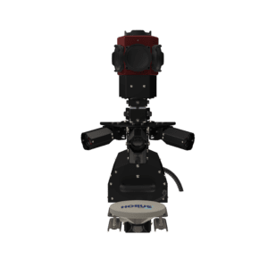
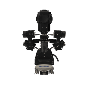
Home » Citymapper 2.0

Horus CityMapper

Imagery based Modular
mobile mapping system

Turn-key modular mobile mapping platform

The CityMapper is capturing system enabling fast and productive capture of road, infrastructure and city environmental data from a vehicle-mounted. Equipped with professional 360 camera and GNSS/ INS positional system, CityMapper captures street-level imagery at high-way speed. Vastly reducing project operating costs and improving safety.

Included mobile mapping software

The Horus GeoSuite software is included with the CityMapper. And enables you to transform, process, extract and share your data across your organization or via the web. GeoSuite  is the ideal solution to generate deliverables such as:

  • Geo-referenced panoramic images
  • GIS data capture

Applications

The Horus CityMapper enables asset managers to build a complete inventory for municipal roads, bridges, buildings, highways, and airport infrastructure. It is the ideal solution for organizations looking to generate deliverables such as:

  • Geo-referenced immersive panoramic images
  • GIS data capture, extraction and maintenance
  • City maps & models
  • Change analyses over time

Road asset inventories – Telecommunication asset inventories – Visual pavement condition assessments

Learn more?

Plan a meeting with a expert.

Key Features

Trimble MX9 with Horus MX Extension

Imagery based mobile mapping platform

The basic CityMapper includes a FLIR Ladybug5+ (or LadyBug6) spherical camera, and an Applanix GNSS/ INS positional system. Delivering outstanding Geo-referenced immersive panoramic images for road inspections and asset management applications.

Modular platform

High Resolution We can easily upgrade the basic CityMapper with upgraded HX hardware extensions. With a High-Resolution camera set up delivering even higher detailed imagery needed for PCI classification or other types of feature extraction.

Other options is to enhance the CityMapper with our thermal extension. We developed a custom thermal camera rig that can be mounted on the CityMapper. Thermal enables you to execute tunnel inspections, powerline inspections, and measuring heat stress in cities.


Contact us and learn what Horus could do

to optimize your design and calculation processes