


// Experience the edge of tomorrow with 360° mobile mapping solutions
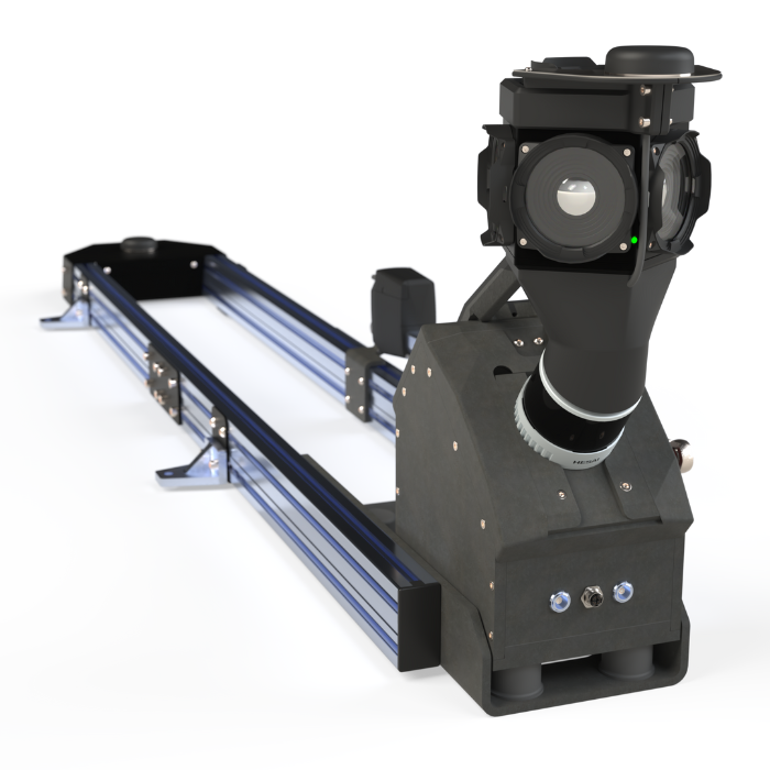
Reality capturing
at its finest
Bridging worlds with adaptive mapping solutions. From ready-to-deploy systems to co-creation and software support, we partner with you to capture reality on your terms. Whether you build, integrate, or collect data, we’re here to drive the future of mapping together.
- Ready-to-deploy solutions
- Custom co-creation solutions
// Expert production, customization, and integration
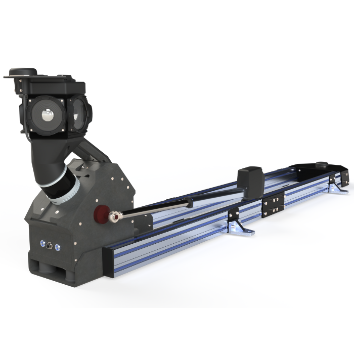
From Vision,
To Reality
From ready-to-use systems to custom solutions, we partner with you to create the perfect implementation strategy.
- Turnkey systems provide immediate reliability and faster results.
- Co-creation solutions for seamless integration with existing operations
- Ongoing support to bridge knowledge gaps and scale your capabilities over time
With 15+ years in mobile mapping, we transform vision into measurable business results while significantly reducing R&D overhead.
// Direct result with real-time data processing
Process while you drive
Transform vehicles into powerful computing hubs with our energy-efficient architecture. Process complex sensor data instantly while driving, eliminating office processing delays. Our on-edge technology handles intensive workflows with room to grow. Extend capabilities to meet your evolving mapping needs.
Strong Partnerships Today Create the Innovations of Tomorrow
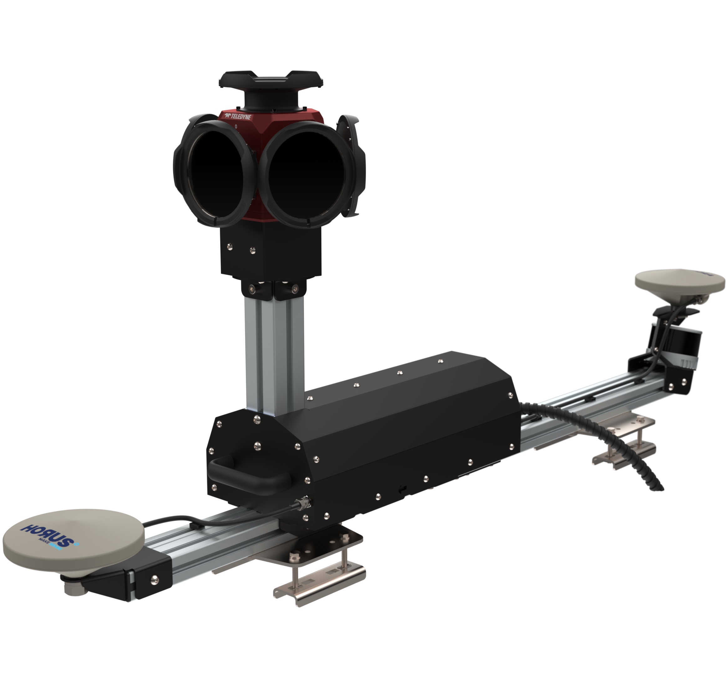
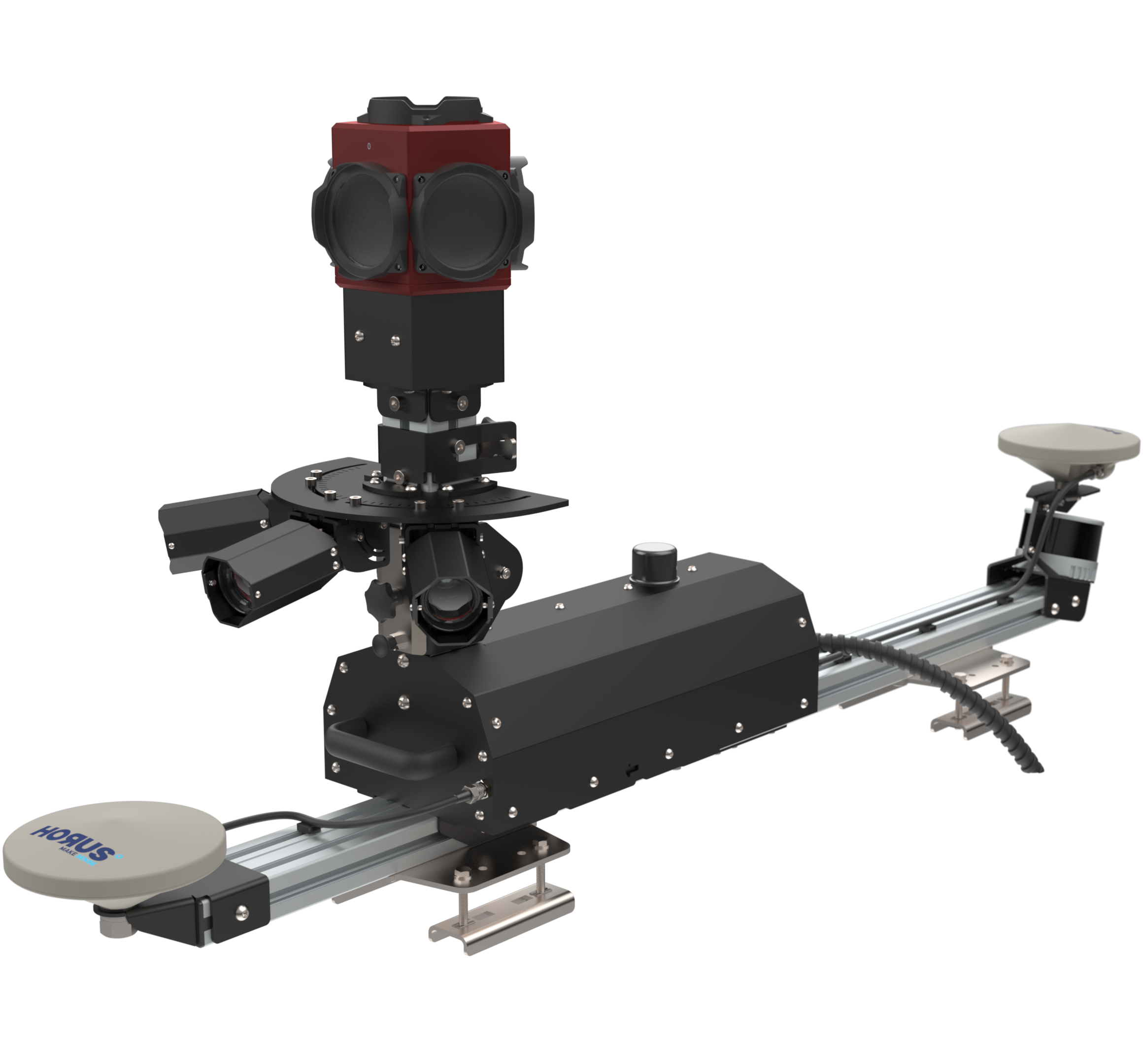
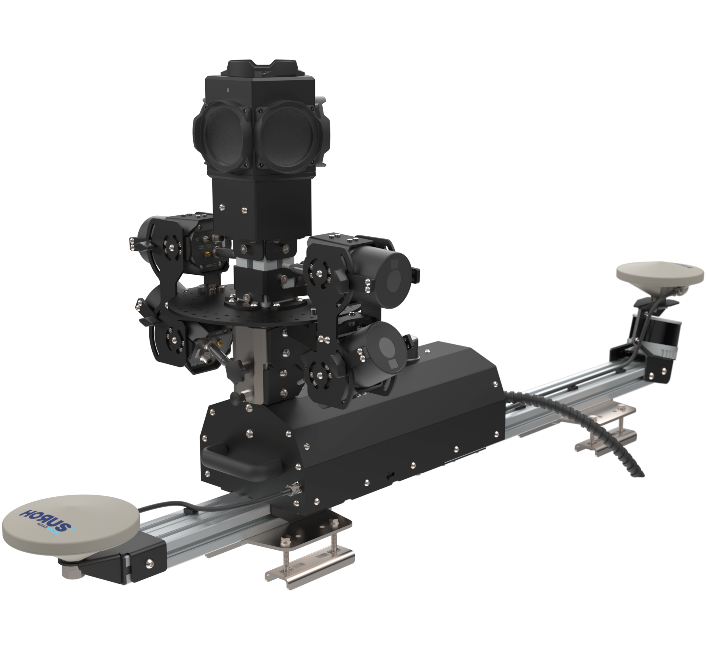
// Precision-engineered to adapt with production needs
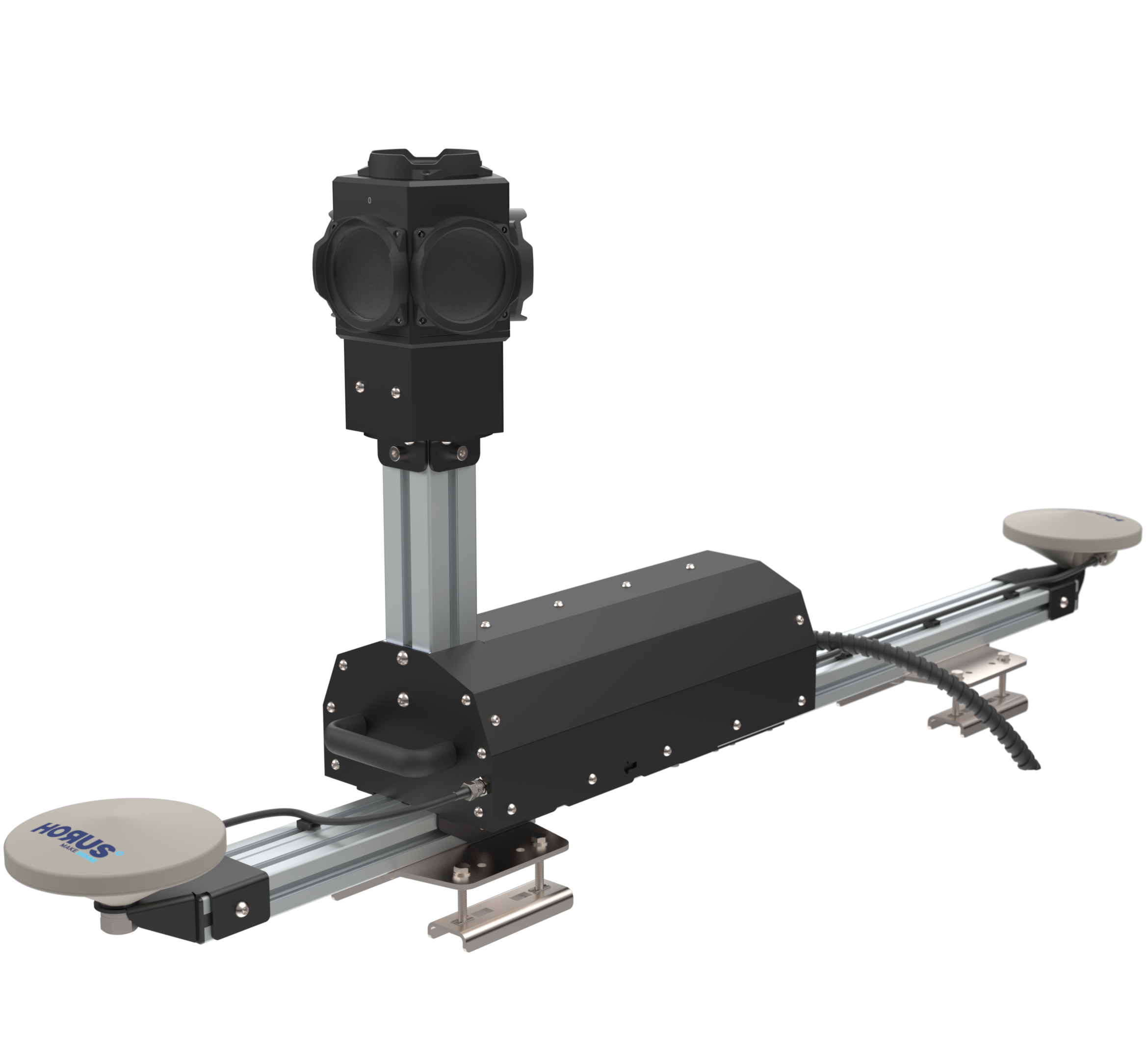
Your Workflow
Your Way
// Field to insights without the wait
Ready-to-use data when you stop
// Connect once, flow everywhere
Seamless Workflow Integration
Connect any hardware output to your existing software without disruption. Our adaptive platform bridges technology generations through both standard integrations and custom pathways. Professional data processing that preserves your investments while evolving with your changing requirements.
Learn more about our Company
// Reimagining What’s Possible
Make Sense
Advanced mobile mapping does not have to mean complexity. We have created energy-efficient solutions that bridge the physical and digital worlds in new ways. Whether you are adding to your existing fleet with best-in-class systems, need custom solutions, or want to integrate your own components, our Horus platform adapts to your needs while maintaining efficiency and precision.
We go beyond standard offerings to become your innovation partner. Our software-driven approach makes both hardware and software integration faster and more efficient, creating sustainable solutions that grow with your business. Through collaboration, customization, and seamless integration, we help mapping businesses and OEMs turn their vision into reality.
Let’s build the next generation of mapping solutions together.
// Market Intelligence, Business Impact
In Depth Industry Insight
Mobile Mapping on Steroids
Discover how co-created mapping systems are revolutionizing large-scale data collection efficiency across industries. Our latest whitepaper reveals proprietary techniques that have helped organizations reduce field time by 40% while improving data quality.
The Game-Changer for Large-Scale Data Collection
Access this exclusive resource and learn how industry leaders are leveraging these advanced mapping methodologies.