Blurring
- Home
- Blurring

//On-premise anonymization software
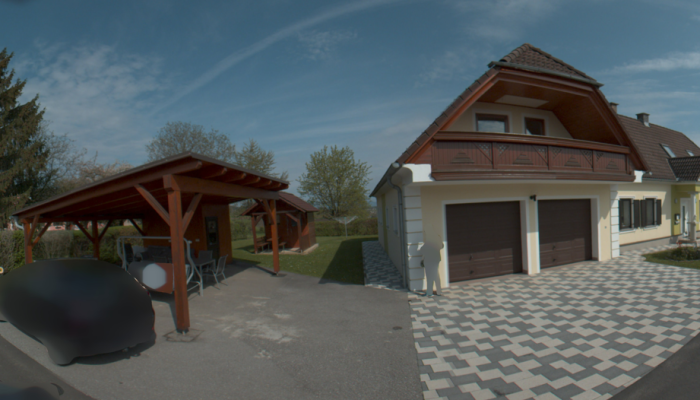
Fast street-level imagery blurring
Take control of your anonymization workflow with Horison Blurring, and ensure compliance while saving time and money.
Get started today, and our innovative software transforms the way you convert and anonymize street-level imagery in a single seamless process.
Don’t let privacy regulations slow you down or drain your resources. Choose Horison Blurring for a fast, efficient, and cost-effective solution.
Have your captured data from one day overnight anonymised.
// how to
Blur and convert in one shot
Horison Blurring will take care of the data preparation & blurring in just one go.
- 1) Select the folder with your (*.PGR, *. JPEG or *.HORUS) imagery
- 2) Decide to blur people and vehicles fully or partially
- 3) Select the desired output format
Anonymization
- Faces
- Whole persons
- Number plates
- Whole vehicles
Conversion
- JPEG
- PGR
- Horus
- Every [x] meter
On-premise
- Stay in control
- Faster, eliminate data transfer
- Cost effective
- Secure workflow
// Drop us a line! We are here to accelerate your mapping


