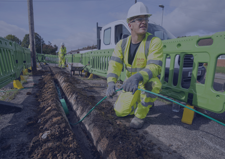
Home ยป FTTH

Risk management in FTTH calculations

REDUCING DESIGN & COST CALCULATIONS
OF FTTH NETWORKS UP TO 80%

Risk management in FTTH calculations

Reliable pre-construction imagery of the project area is necessary to reduce risks in design and cost calculations of new FTTH constructions. Therefore, it is essential to have an up to date and accurate insight of the project area for designing and calculating the best cable routing options.

The traditional method of capturing and post-processing the data is very expensive and time-consuming. Manually gathered data and field surveys can also introduce new uncertainties through inaccurate and incomplete information.

Automated surface segmentation to GIS

Horus helps communications service providers (CSPs) to streamline the process of getting the required insight to propose the economical best option for the cable routing.

Learn more?

Plan a meeting with a FTTH expert.

Surface segmentation workflow

Capturing street level imagery

Trimble MX9 with Horus MX Extension

Horus has his own imagery based mobile mapping system, the CityMapper.

The Horus CityMapper enables asset managers to build a complete inventory for municipal roads, bridges, buildings, highways, and airport infrastructure. It is the ideal solution for organizations looking to generate deliverables such as:

  • Geo-referenced immersive panoramic images
  • GIS data capture

The result is comprehensive and accurate information that helps cities keep their streets and other infrastructure safe while saving time and money.


    Post-processing imagery data

    We use MERCAIDO our own imagery and measuring API for AI models. Choose your source and destination file, select the AI models, and the on-premise process will start immediately without sending over large amounts of data.

    Key features:

    • On premise batch processing for fast post-processing
    • Supports *.PGR, *.JPEG and Horus imagery
    • Surface segmentation
    • Asset recognition

    In case of GDPR compliancy we have our anonymization models. Blurring faces, license plates and even full bodies or cars are part of this model.

    • GDPR compliancy as a solution
    • *.PGR blurring output

    Positioning on a map & sharing

    Horus GeoSuite is the software suite to assign positioning files on top of your annotated imagery dataset. Even directly on top of your PGR or JPEG data.

    The end result is a GIS polygons based actual map of your project area. GeoSuite allows you to share this map with the rest of your project team.

    If you have your own mapping software installed you can still export the annotated data for further usage.

    Contact us and learn what Horus could do

    to optimize your design and calculation processes