


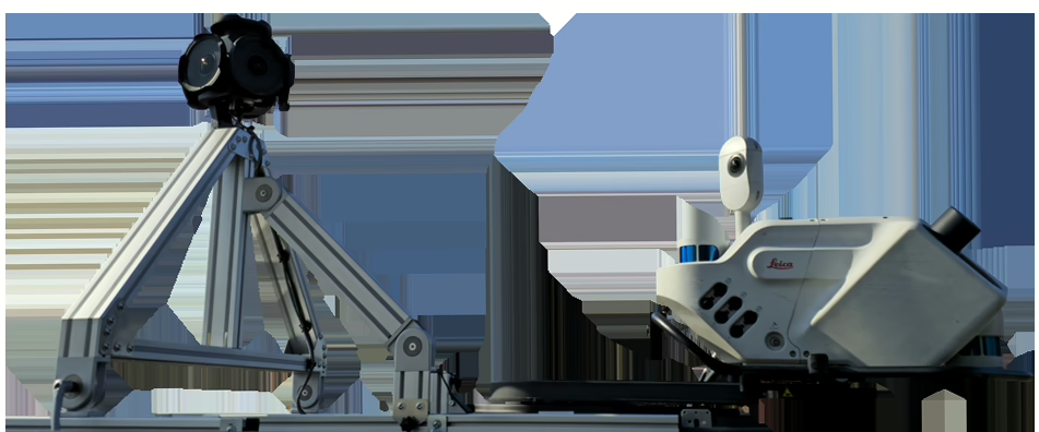
Make inquiry Table of Contents Introduction In the demanding fields of professional surveying and engineering, staying ahead requires leveraging the best available technology. While the Leica TRK system is a powerful tool, the evolving landscape demands more comprehensive visual insights. Standard TRK data, while precise, can lack the visual context needed to fully assess site […]
Make inquiry Table of Contents The New Paradigm in Field Data Processing This transformative approach to data collection naturally revolutionizes enterprise data strategy for organizations ready to embrace the edge of tomorrow. Industry research offers valuable insights on this emerging technology. According to ZPE Systems (2024), citing industry research from Gartner, reports that by 2029, […]
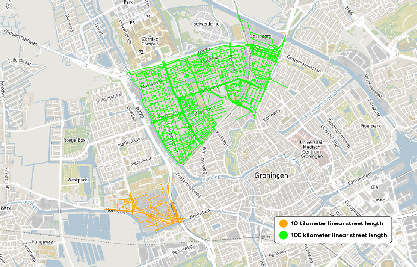
What if you do not have to choose? What if there was a way to collect high-quality GIS data at unprecedented speeds, all while enhancing safety and reducing costs? In today’s fast-paced construction, civil engineering, and urban planning industries, you are likely facing a growing challenge. For asset management, asset inventory, and road inspection projects, […]

Nederland staat voor een monumentale uitdaging in de energietransitie: tot 2035 moeten 100.000 km elektriciteitsnetwerk en 50.000 elektriciteitshuisjes vervangen worden. Deze massale operatie betekent dat één op de drie straten open moet, wat onvermijdelijk zorgen oproept over mogelijke schade aan omliggende gebouwen en infrastructuur. Netbeheerders en aannemers worstelen met de complexe taak om deze essentiële […]

Reliability is a crucial factor in large-scale data acquisition projects. Without suitable equipment, projects risk delays, cost escalation, and data compromise. In the world of construction, civil engineering, cartography, and surveying, accurate and reliable data acquisition is crucial. Large reality capturing companies often encounter significant challenges when collecting data on a grand scale, especially in […]
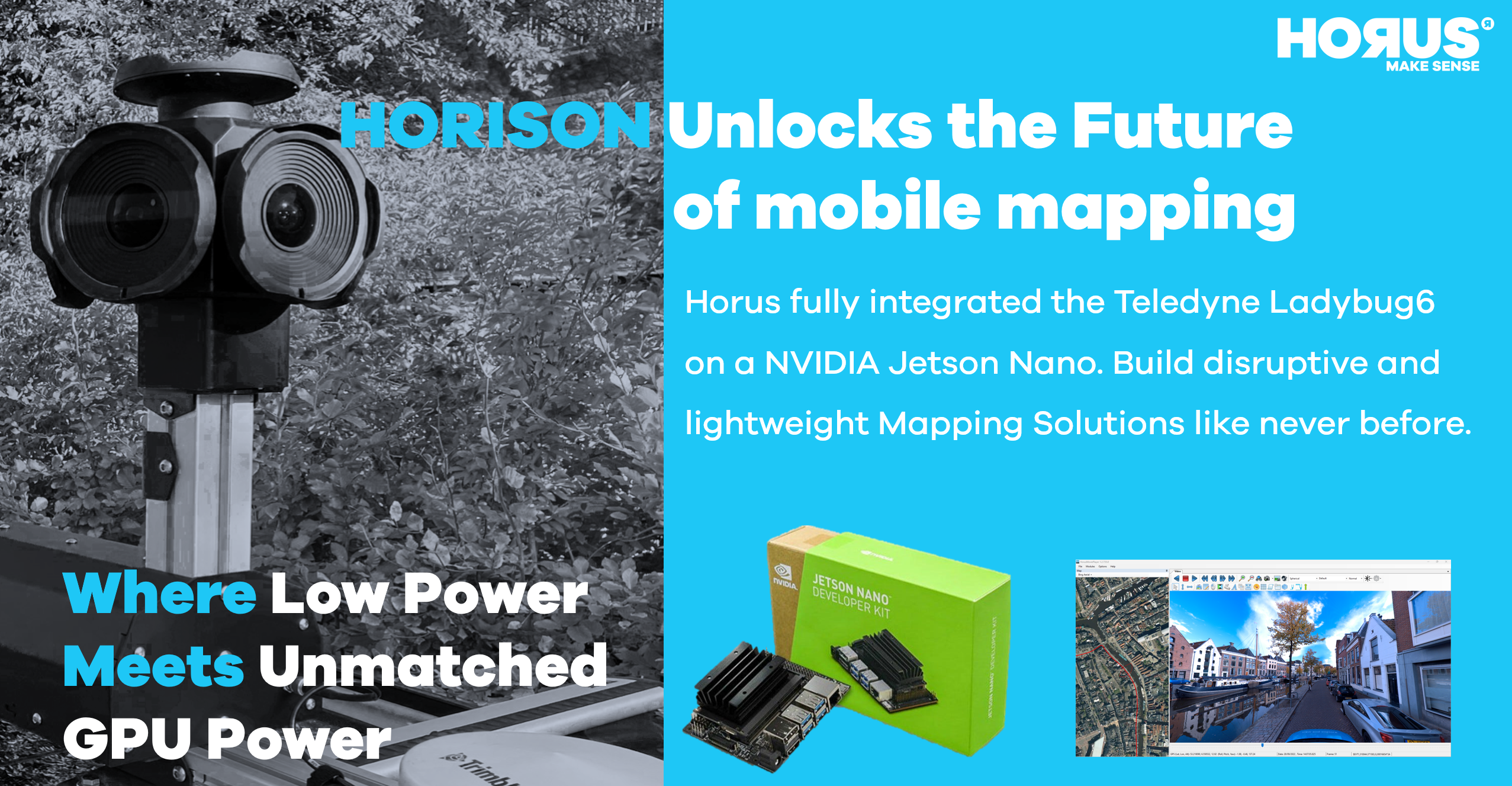
Build disruptive and lightweight mapping solutions with the integration of the LD6 on a Jetson Nano like never before. Horison the Horus integration platform, enabled the seamless embedding of the high-end Teledyne LD6 spherical camera and world-class Applanix GNSS on an NVIDIA Jetson Nano board. This integration brings forth an embedded mobile mapping system that […]
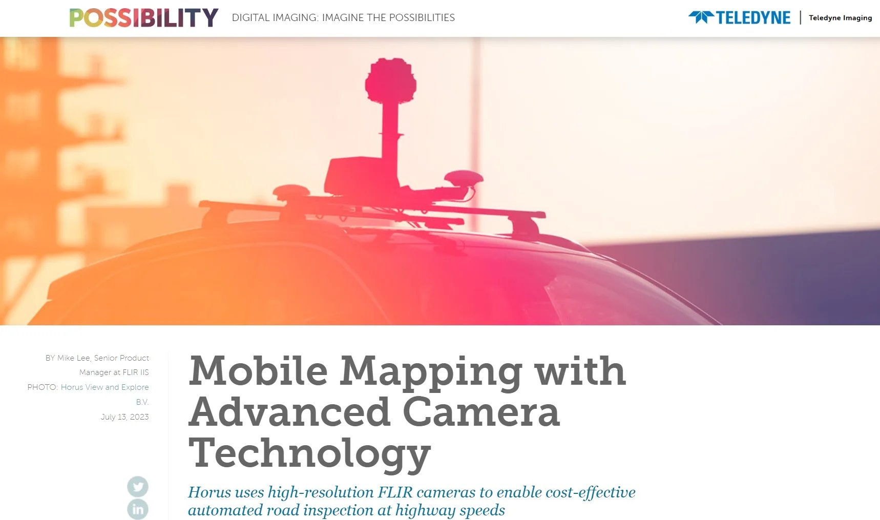
Excited to share that our work on disrupting Mobile Mapping has been featured on Teledyne’s website! Teledyne, a global leader in camera technology, recognizes our innovative approach. With our advanced camera technology, Horus, we’re revolutionizing automated road inspection at highway speeds. By utilizing high-resolution FLIR cameras, Horus ensures cost-effective and accurate road inspections without compromising […]
Horus View and Explore B.V., a prominent player in the global mobile mapping market, has solidified its position as one of the key players in the industry, according to a recent market research report by Maximize Market Research. The company’s strategic partnerships with renowned companies, including AiDash, Celantur, Genesys International Corporation Ltd, and Trimble Geospatial, […]
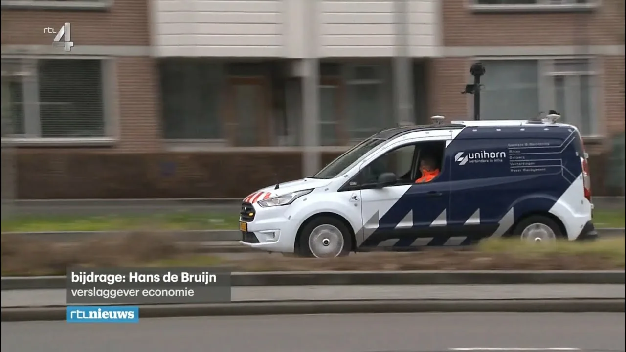
The combination of the Horus View and Explore B.V. mobile mapping platform and BrainCreators‘ AI technology allows Unihorn to perform road inspections more efficiently and effectively on behalf of the Gemeente Breda. Yesterday the 6 o’clock news showed how Breda puts automated road inspections into practice. Nice to see that Breda understands the many advantages of AI and sees this as […]

Horus View and Explore B.V. is proud to announce that it has taken its partnership with NVIDIA to the next level! We have joined the Smart Spaces program in the Metropolis community as a partner, demonstrating our commitment to bringing cutting-edge AI-powered technologies to various industries. With NVIDIA’s focus on creating smart spaces that enable intelligent automation, optimization, and control, […]
- 1
- 2