HORISON BLURRING
Automated blurring for Mobile Mapping
Anonymization as an automated solution
Being GDPR compliant is a time consuming & costly process
When using or publishing an image or video for commercial purposes, GDPR requires data processing companies to request consent from the data object, i.e. the person whom the personally identifiable information [PII] like faces, license plates, bodies and vehicles belongs to.
This is at least very time-consuming & costly process. Especially in the mobile mapping industry where you capture huge amounts of imagery data in public spaces. You should get consent of hundreds or even thousands individuals and objects within the dataset.
GDPR compliancy as a solution
We deliver automated blurring as a service for Mobile Mapping applications! Being GDPR, CCPA, APPI compliant by automatically removing PII, to protect individuals’ privacy for mobile mapping applications like never before.
HORISON automates blurring for Mobile Mapping applications
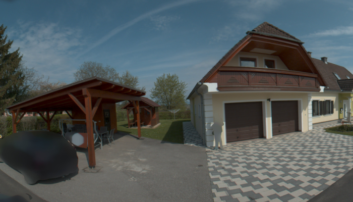
- Automatically blur faces, bodies, license plates on panoramas & planar imagery
- On premise, for fast and secure post-processing (batch processing, no upload to third parties, …)
- Transform *.JPEG, *,PGR and *.HRS imagery
- Export and share in current workflows (CubeMap, MultiRes, …)
Being GDPR compliant as a service; cost-effective, fast processing and easy to integrate in current mapping workflows.


GDPR compliant imagery data in just 4 steps
Horison blurring includes all the needed functionality to post-process and share your GDPR, CCPA, APPI compliant imagery data set.
Step 1 – Choose your imagery data setThe Movie Recorder is the basic toolset to capture and collect sensor data out of your mobile mapping system. The Recorder captures and synchronizes the several camera streams, GNSS data and other input streams simultaneously.” |
|
Step 2 – Set the blurring levelsWe included functionality to edit & transform your imagery data into the right format. You can export your recordings to several formats (incl. *.MP4, *.AVI). Or export your video into photos (incl. *.JPEG, *.BMP, *.PNG). And if you have |
|
Step 3 – Select the output format & start processingNow you are all set to transform your post-processed and georeferenced imagery data into actionable GIS data. Our main goal was to simplify the extraction & inventory workflow to streamline inspection tasks. Powerful geotagging |
|
Step 4 – Publish & use the processed imagery dataNow you are all set to transform your post-processed and georeferenced imagery data into actionable GIS data. Our main goal was to simplify the extraction & inventory workflow to streamline inspection tasks. Powerful geotagging |
![]() |