


// Pixel 2 geometry
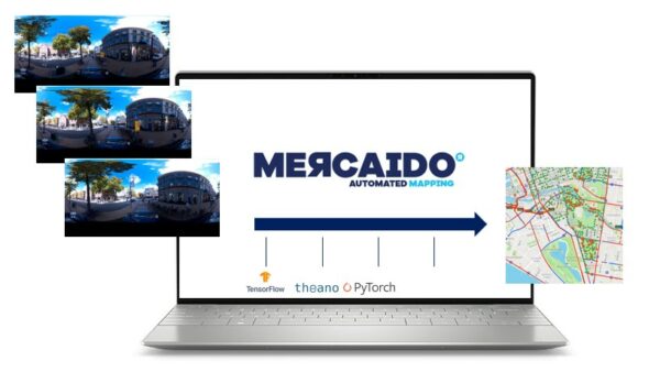
Speed and scale up mapping
Traditional mapping methods often struggle to keep pace with the rapid changes in our cities. By leveraging AI algorithms, you can analyze vast amounts of street-level imagery with exceptional speed and precision. This allows you to detect and extract crucial information, such as road networks, building footprints, and street signs, in near-real time. Your maps are continuously updated, ensuring that you always have access to the most reliable and accurate information.
Join us on this transformative journey as we reshape the future of mapping with AI and street-level imagery. Together, we can unlock new possibilities and create a world where accurate and reliable maps are the norm.