History of Integration
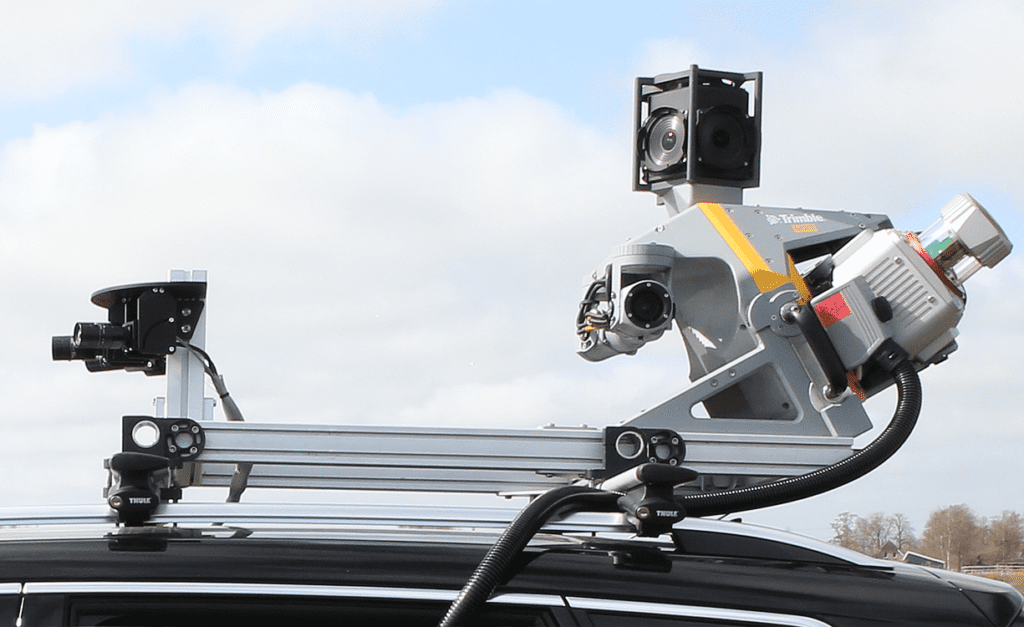
Horus, a pioneer in mobile mapping in the Netherlands, developed their advanced mobile mapping systems over 12 years ago. We designed our underlying Horison Framework software to be flexible, compatible with various components, and ready for future changes.
We are well-prepared to handle projects that require the latest technologies. In the Netherlands, we’ve successfully provided complete mobile mapping systems with high-quality cameras to many construction, infrastructure, and utility companies.
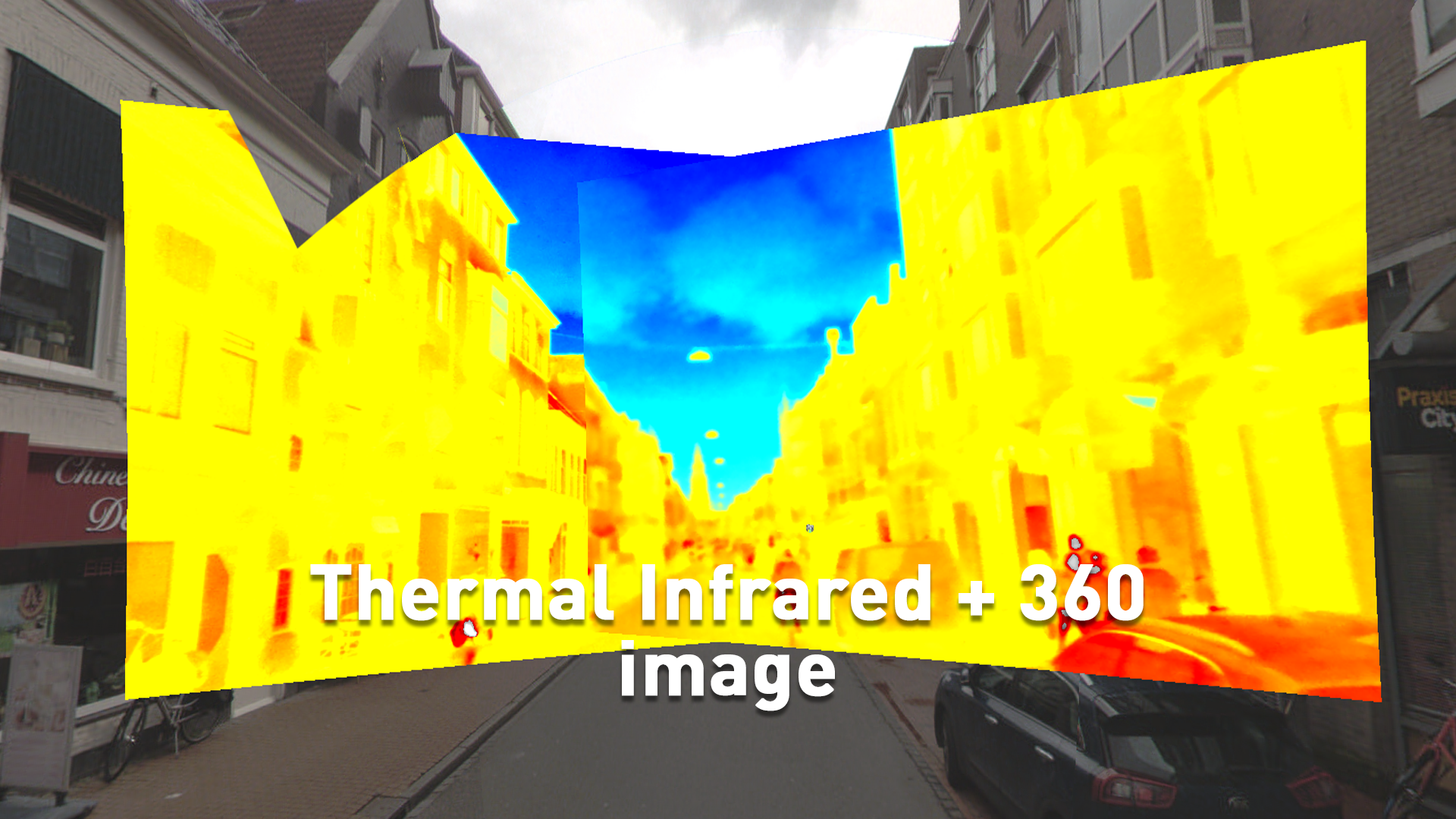
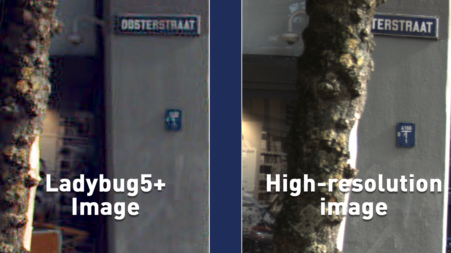
Since 2020, we’ve noticed more requests for extra sensors. That’s why we’ve partnered with Trimble to improve their systems by adding High-Resolution and Thermal Infrared features. This partnership offers new possibilities for Trimble MX7, MX50, and MX9 users.